What a crummy day! The trail is poorly marked, camping spots exist, just further down the trail… I fell into Texas Creek (waist deep) Oh and rain…

I know I should expect the rain, but it always starts out with hope of sun.

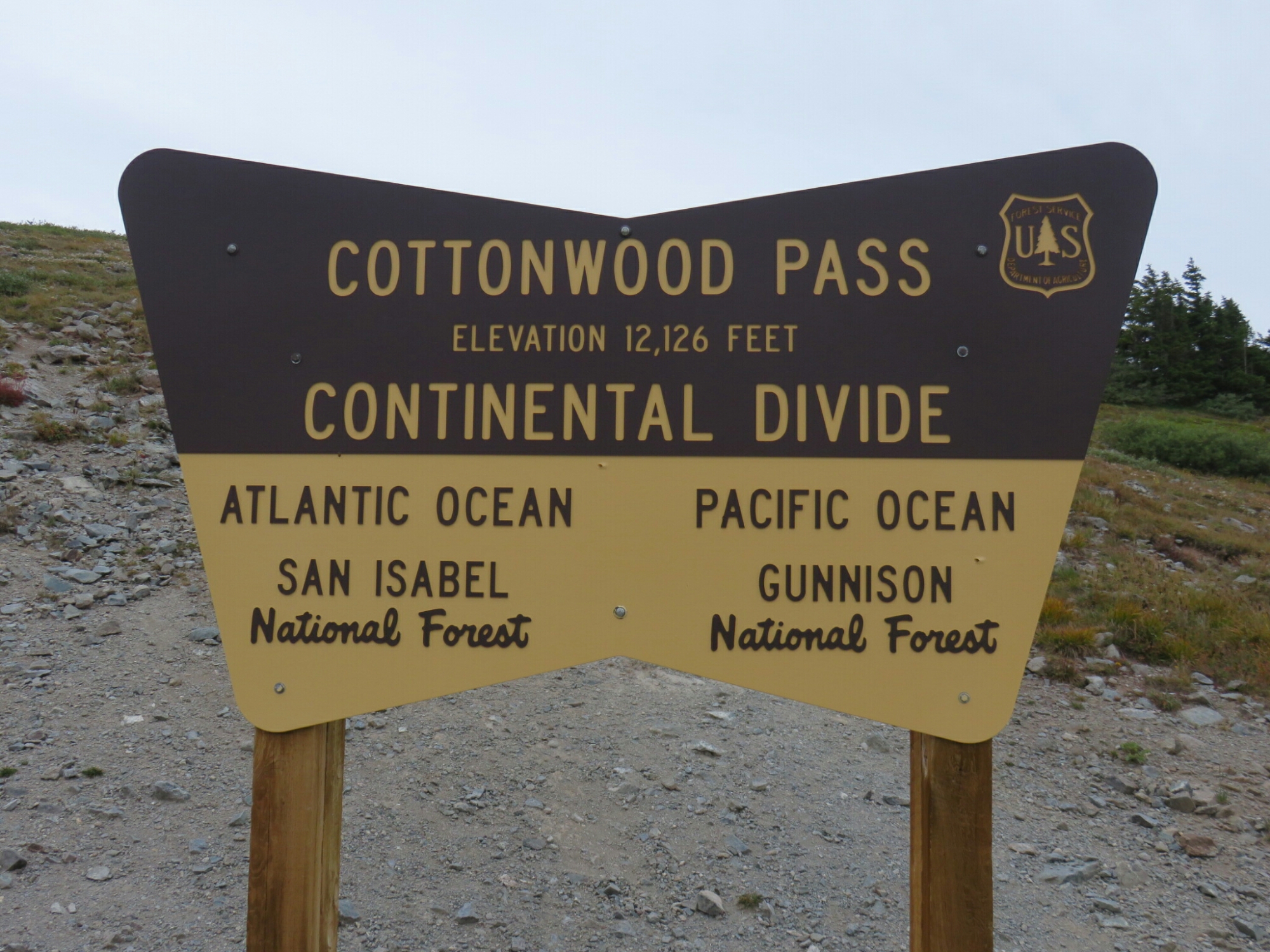
Then the trail keeps going. Cottonwood pass has changed from the 5th edition Colorado Trail Databook. I follow the marked trail and yet, the databook is absolutely wrong. Luckily I have a GPS app on my phone with the trail on it, but that app doesn’t tell me where the camping spots are. In the databook, I only needed to go about 12 miles to a camping spot, but I was nowhere near that trail… So I kept hiking… And hiking. It starts to rain, sleet, and drizzle, but I kept hiking, there had to be something soon… Right?? Ha! Heck no! I hiked well into the next segment because I was above tree line for the last 15 miles!

I wound up getting water and finding as flat, rock free spot as I could. Sadly it was lumpy, has elk leftovers, and I setup in the ridiculous rain. At 12,200ish feet.
Then it rain and stormed all night… ALL night.